


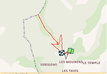

5.3 km | 6.2 km-effort

User


FREE GPS app for hiking
 SityTrail
IGN / Geographical institutes
SityTrail World
The world is yours!
Trail Walking of 7.8 km to be discovered at Provence-Alpes-Côte d'Azur, Hautes-Alpes, La Roche-des-Arnauds. This trail is proposed by Dervalmarc.
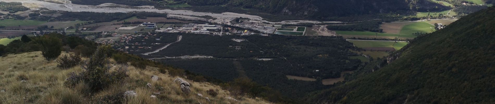
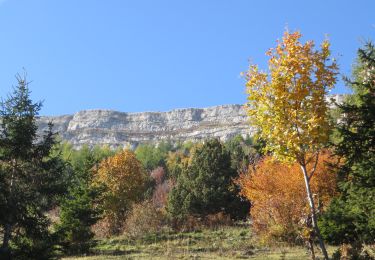
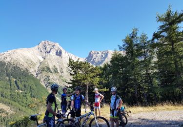
Très beaux parcours de crête. Belvédère sur le Pic et cirque de Bure.


Walking
Mountain bike
Running

Mountain bike

Mountain bike

Mountain bike
Mountain bike
Walking
Walking